15+
Years
About Paramount Group
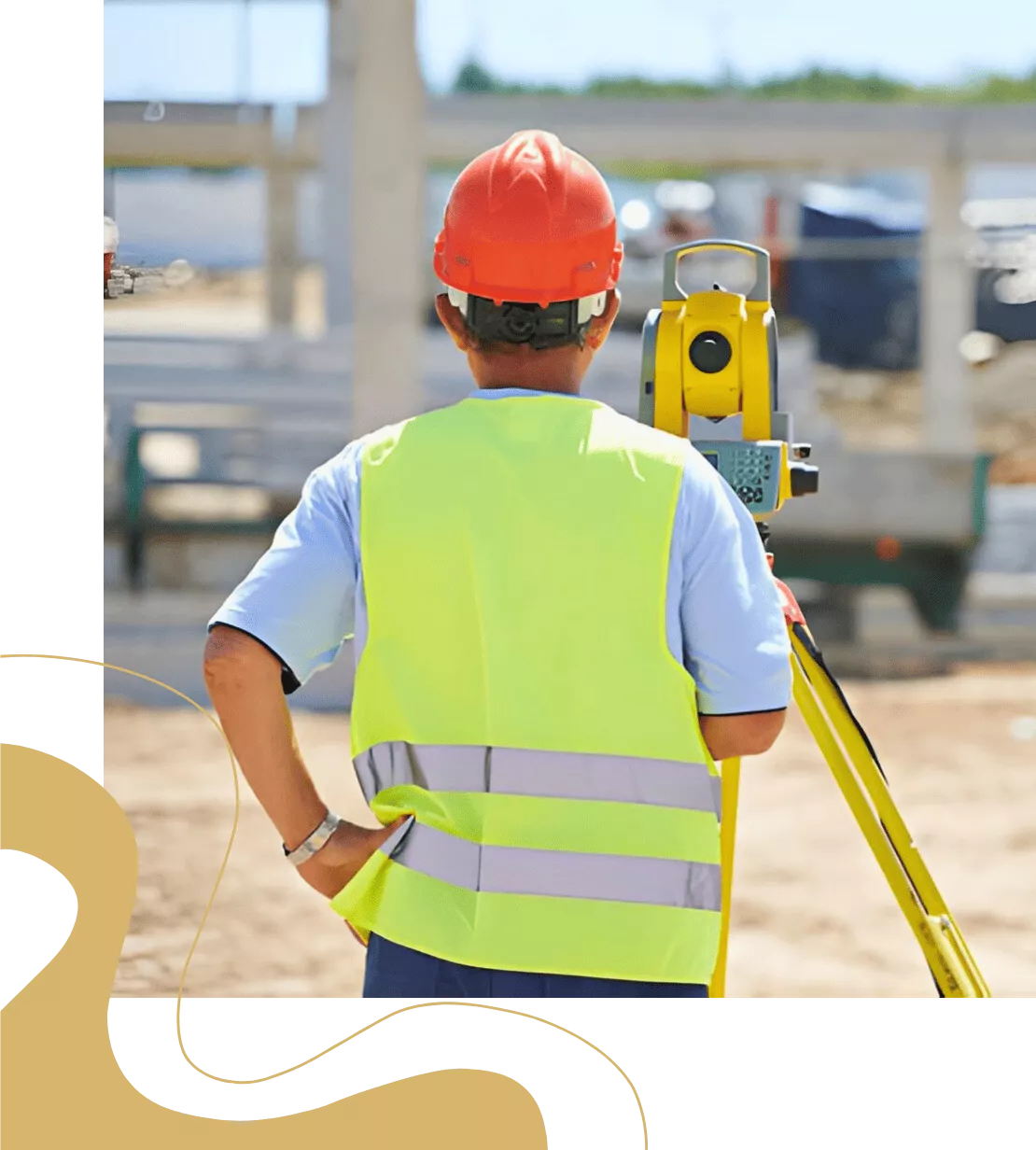
Professional Licensed Surveyor Services for Land & Property
With over 15 years of experience, Paramount Group is a trusted Licensed Surveyor providing accurate land measurement, property boundary verification and detailed surveying solutions for residential, commercial and construction projects.
As certified surveying professionals, we ensure every project is backed by precise data, legal compliance and advanced surveying techniques to support confident decision-making.
 15+ Years of Surveying Experience Licensed & Certified Surveyors Accurate Land & Property Measurements Residential & Commercial Expertise Legal Compliance & Reporting
WHY CHOOSE US
Trusted Licensed Surveying Services
We provide professional land and property surveying services that form the foundation of accurate planning, safe construction, and compliant development. Our services are designed to deliver precise measurements and reliable data essential for residential, commercial, and infrastructure projects.
Using advanced surveying instruments and modern techniques, we carry out detailed site assessments, boundary verification, topographic mapping, and construction layout marking. This ensures every project starts with clear, accurate, and legally compliant site information, reducing risks and avoiding future disputes.

Certified Survey Professionals
Experienced and qualified team

Advanced Surveying Tools
Modern technology for precision

Accurate Reporting
Detailed and verified survey data

On-Time Delivery
Fast and efficient service

Legal Compliance
Adherence to all regulations
End-to-End Support
From site visit to final report
Accurate Surveying for Smarter Decisions –
15+ years of experience in delivering reliable and certified land survey solutions.

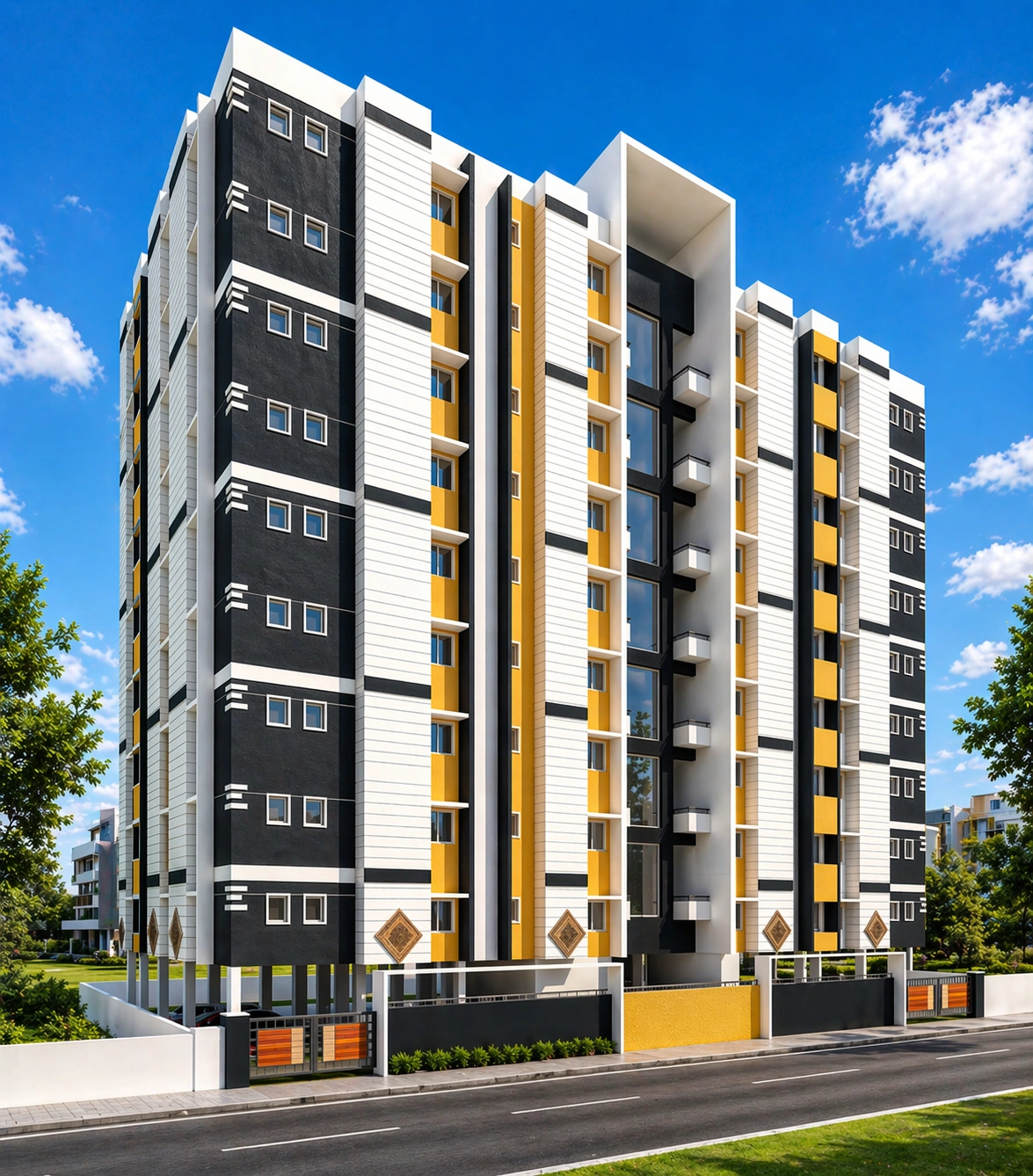
Our Gallery